Thomaz Carvalhaes walks the streets of Detroit with a map in one hand and a checklist in the other.
His mission is to locate and assess bus stops across 10 square miles.
The University of Michigan-Dearborn senior gazes down at his map to confirm his location, but there is no sign of a bus stop.
“It looked more like a trash dump,” said Carvalhaes, an environmental science major who is pursuing a certificate in geographic information systems (GIS). “There were no signs. There were no schedules. You wouldn’t know it was a bus stop unless you knew from word of mouth.”
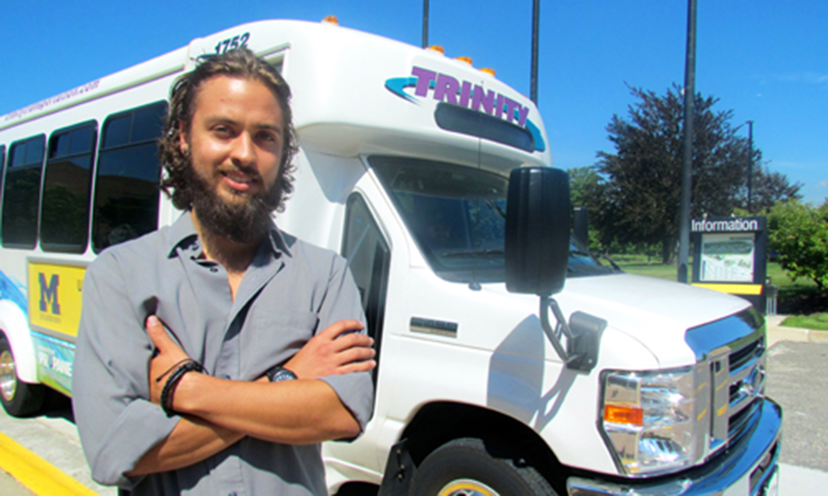
Carvalhaes recently wrapped up a summer internship at Focus: HOPE, where he used GIS technology from UM-Dearborn’s Geospatial Analysis and Mapping Lab to chart bus routes and assess them for safety.
His project ties in closely with the mission of Focus: HOPE, which is to find intelligent and practical solutions to the problems of hunger, economic disparity, inadequate education and racial divisiveness.
Members of the Detroit-based organization initially surveyed residents about public transportation and how they would assess their bus stop.
“Is there shelter at the bus stop to protect passengers from rain and snow?”
“Is there adequate lighting at the bus stop?”
“Does the area surrounding the bus stop show signs of blight?”
Focus: HOPE then partnered with UM-Dearborn’s Office of Metropolitan Impact (OMI) and associate professor of geology Jacob Napieralski to recruit a talented GIS student who could use the survey data to create a map featuring numerous Detroit bus stops, and then rank them based on safety.
Cue Carvalhaes.
“It’s a mutually beneficial project,” said Molly Manley, OMI program coordinator. “Students like Thomaz receive this great learning opportunity where they’re getting hands-on experience and learning more about their community. At the same time, the community is getting to interact with the university in a positive way. Community members get to see that the university has great resources for them to utilize.”
Focus: HOPE plans to use Carvalhaes’ map, once it’s complete, to signal which bus stops require more attention in relation to blight removal and inadequate lighting. The increased public awareness could result in safer bus stops across Detroit.
“It was sort of a personal project for me because when I came here, I was used to having a public transportation system,” said Carvalhaes, a nontraditional student. “Growing up in Toronto, much like Chicago and New York, there are subways and buses everywhere. When I came here without a car, I couldn’t get around. Ever since then, I wanted to do my part to improve public transportation in Detroit.”