News articles. Photos. Satellite images.
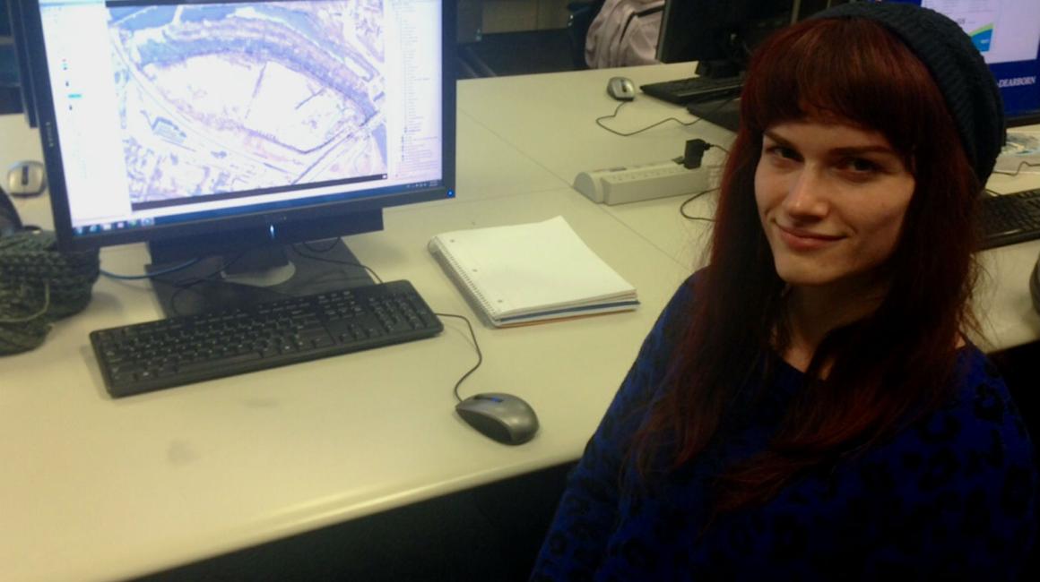
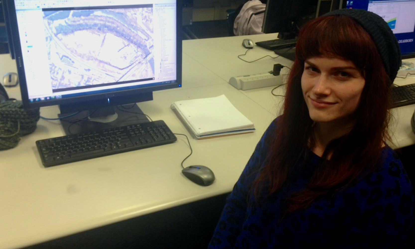
Senior Kelly Williamson sifted through nearly 100 years of history about the land that once housed a DTE Energy plant in Ann Arbor, a site along the Huron River near Broadway Street.
The purpose? To gather information on whether or not water could pose a risk on building there. She planned to use Geographic Information Software (GIS) and other data sources to update an old map of the area’s floodways.
DTE Gas and its predecessors have operated industrial facilities at the property since 1900. The service center was closed in 2009 and the building was dismantled in a process known as “deconstruction,” which resulted in most of the material being reused or recycled. DTE has added a park, but would like to add additional structures to the site. However, the Federal Emergency Management Agency (FEMA) classified the area in the 1980s as a High Risk floodway area, which means it is unsuitable to build on.
Because previous information used is several decades old and mapped with old technology, DTE contacted UM-Dearborn’s Business Engagement Center to connect them to natural science experts.
“We are pleased University of Michigan-Dearborn is partnering with DTE on the flood plain analysis for our Broadway site in Ann Arbor,” said Ron May, DTE Energy executive vice president, major enterprise projects. “Our vision is to create a first-class mixed-use development capitalizing on the unique features of the riverfront location with significant green space open to the public. The data gathered will help us determine the best possible use for the site to enhance economic development and quality of life in the community,”
Advising Williamson, Geology Associate Professor Jacob Napieralski said he liked the project and wanted to get involved because it not only supports student research—it also will have community impact.
“DTE wants to use the land for a community resource, but aren’t sure exactly what can be done with it at this point,” he said. “Kelly’s findings will help them find a resolution to this.”
Napieralski said it’s not uncommon for flood border requests to be made to FEMA, and that the government agency is typically receptive if backed by scientific data.
“Because individual rivers are a difficult environment to assess, FEMA has standard blanket rules that apply to all the U.S., but locally you can come in and say, ‘We have more knowledge, sound data, that says your map needs to be tweaked a little bit,’” he said.
Williamson has looked at the history, lined up new and old topographical maps, collected precipitation data and used technology to see what would happen with rising waters in increments of up to three feet. And, at the end of the month, she will submit a technical report to DTE.
“Outside of an extreme event, I do not believe flooding poses an issue to this site. The only time I found flooding was when the dam broke many, many years ago,” said Williamson, an earth sciences major. “But who knows what I might find in the next few weeks?”
Williamson said she’s glad she was chosen for the assignment because it helps her feel more confident in her field. And it goes back to why she chose her major in the first place.
“We see things right in front of us—but still there is so much to learn, so much we really don’t see. It’s fascinating,” Williamson said. “Earth has many mysteries. To even have a chance at finding answers, you need to collect data. When I heard about this project, I knew it was right for me.”


