
Research Projects
A Living Laboratory: Research at the EIC
The 120-acre Interpretive Trails offer a unique advantage: a vast, diverse forest located just steps from UM-Dearborn classrooms and labs. This proximity makes it a premier research site for university faculty, students, and regional partners to study environmental challenges in real-time.
High-Tech Conservation: UAV & Drone Monitoring
Mapping invasive species from the ground can be difficult in aquatic environments. To solve this, students in Advanced GIS courses use Unmanned Aerial Vehicles (UAVs) to monitor Fair Lane Lake.
- The Target: Eurasian Watermilfoil (EWM), an invasive plant that forms thick mats on the water's surface, blocking sunlight and choking out native species.
- The Impact: Drone data allows EIC staff to pinpoint infestations and develop precise management plans to restore the lake's health.
Regional Partnerships & Invasive Tracking
The Interpretive Trails serve as a critical monitoring station for threats moving through Southeast Michigan. We currently host two major collaborative studies:
- Beech Leaf Disease: Researchers from the UM-Ann Arbor School for Environment and Sustainability (SEAS) use dedicated plots to track the arrival and impact of this emerging threat to our native Beech trees.
- Red Swamp Crayfish: In partnership with Friends of the Rouge, we regularly sample Fair Lane Lake to monitor the spread of this aggressive invasive crustacean.
Hydrology & Groundwater Monitoring
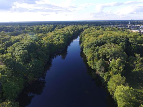
As Southeast Michigan faces more frequent heavy rain events, understanding how water moves through our landscape is vital. Because the trails border the Rouge River, they are a key part of the local watershed.
- The Infrastructure: The area is equipped with 18 groundwater monitoring wells.
- The Research: Students use these wells to track subsurface water levels and quality as it moves from the UM-Dearborn campus down to the river, helping us predict and manage local flooding.
Plant & Tree Surveys: Tracking Decades of Change
Our habitats are constantly shifting. By conducting regular botanical surveys, we can see exactly how the forest is evolving.
- Historical Foundation: Our data reaches back to original records from 1816, providing a 200-year perspective on land change.
- Ongoing Studies: Since the first modern survey in 1998, faculty and students have performed recurring counts (most recently in 2020) to document ecological succession and the long-term effects of our management efforts.