

Shaped like a trapezoid, Grixdale Farmside sits east of Woodward Avenue and west of John R. Street. Cascading down from the northern border at Seven Mile Road are the streets known as “The Woods”: Brentwood, Hollywood, Robinwood. “The Dales” — Hilldale, Grixdale and Greendale — run east to west. And just before the southern border at Six Mile Road are a collection of streets called “The States,” among them Nevada, Montana, Minnesota and Dakota.
For many years, if you didn’t already know where this Detroit neighborhood was, you would have had a hard time finding it. The area features historic architecture, small businesses and urban gardens that co-exist with signs of abandonment and disinvestment, the community’s lack of permanent waymarkers. This made it, along with its history, easy to overlook.
But through a community storytelling project, “Putting Grixdale Farms on the Map,” that’s changing.
“It’s important to capture Grixdale Farms as a living, breathing community because sometimes we hear stories about how a neighborhood was disinvested in, and that’s the end of it,” explains 2026 alum Kathryn Arnold, who began work on the project as a student research assistant in 2025 and has stayed on as a researcher after her April graduation. “But all the residents will tell you that Grixdale Farms is in a transitional period, and it’s on the up.”
The project partnered UM-Dearborn faculty and students and members of the Grixdale Farms community to work together in creative design sessions where they developed weatherproof outdoor signs that link to digital story maps.
It was conceived alongside “Telling Place! Markers, Signs, and Echoes to Share Our Stories,” a 2025 project led by UM-Ann Arbor in partnership with the Grixdale Farms Neighborhood Association to co-design “a network of markers, signs and echoes” to be placed in meaningful locations in the neighborhood and to collect and preserve residents’ stories and memories.
“We were trying to develop, as a community, a sign for Grixdale Farms, and we had decided to do it ourselves,” says Kari Omara, the current neighborhood association president, noting that when the storytelling and the wayfinding project aligned, it became “a fleshed-out idea.”
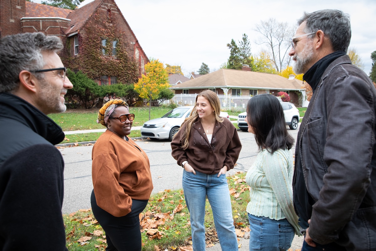
The full group gathered for the first time at Savvy Events, a local venue owned by a Grixdale Farms resident. “We started out by mapping and telling each other what we know about our neighborhood,” Omara says. “It was incredible to witness.”
A living, digital archive
Led by Professor of Sociology Paul Draus and funded by the UM-Dearborn Office of Community-Engaged Learning, “Putting Grixdale Farms on the Map,” continues the collaboration initiated by the UM-Ann Arbor project via a Story Map — a “living digital archive” of the neighborhood’s collected memories, media, maps and other artifacts.
In addition to Arnold, UM-Dearborn students Francesca Badalamenti and Dominic Gomez joined the project in summer 2025 and helped build the Story Map website along with UM-Ann Arbor faculty member María Arquero de Alarcón, associate professor of architecture and urban and regional planning, and research assistant Jess Chen, who graduated from UM-Ann Arbor in 2024 and continued to work on the project in 2025.
One of the most rewarding parts of this work, Arnold says, has been following residents’ lead and listening to what they have to say.
“So many things are happening in the neighborhood, and people are working so hard to clean it up, and working on different community projects,” Arnold says. “It’s really exciting to see, and we wanted the signs to be representative of them, something that they felt really confident in. The signs are really just to show you that you’re coming through Grixdale Farms, and this is somewhere to look and to stop.”
Omara explains that Grixdale Farms residents come from many different backgrounds and are a “get-our-hands-in-the-soil" kind of people who make up the active and community-minded neighborhood. “I was very excited about the sign project and the storytelling aspect because I had a story to tell,” she says.
During the project, students have primarily assisted in facilitating meetings and workshops, Arnold says, noting that the residents led the decisionmaking. She and the other students have sat in on interviews, helped at sign-design workshops and worked on the online story map.
Omara says the student researchers surprised her by the degree to which they got involved, showing up at neighborhood cleanups and community walks in addition to explicit project work. “And when the stories were being told, they actually listened. They listened with their whole selves, and it was beautiful to see, she says.”
“Putting Grixdale Farms on the Map” will conclude in December. While some of the signs have been installed, the team is currently still deciding where the rest will go.
Arnold hopes that the signs in their neighborhood will feel like “planting a flag” for Grixdale Farms.
“These are very resilient people and it’s a very tight-knit community,” she says. “They’re constantly organizing or working on community gardens. They are constantly dreaming for their neighborhood.”
The “Telling Place” collaboration with Grixdale Farms was led by UM-Ann Arbor faculty members Lisa DuRussel, assistant professor of practice; María Arquero de Alarcón, associate professor of architecture and urban and regional planning; Grixdale Farms Neighborhood Association board member Andrew Lapetina, UM-Dearborn faculty member Paul Draus, professor of sociology. UM-Ann Arbor graduate student Koby Buford, who graduated from UM-Dearborn in 2025, worked on an earlier phase of the project in 2024.
Story by Lillien Waller. Photos by Julianne Lindsey.


